Travel Regions
- Offroad English Books
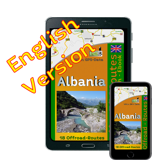
 Albania
- A1 Entry to Albania
- A2 Attractions
- A3 Tomori Mountain
- A3b Gorge in Albania
- A4 Albania Plateau
- A5a Outback Albania
- A5b Rainy Mountains
- A6a Mountains
- A6b Drin valley
- A7 Fjord and Mining
- A7b Fjord & Lakes
- A7a Offroadtrip
- A8 Albania
- A8a Ferry Albania
- A9a Stelvio in Albania
- A9b Iron Mining
- A10a City and Country
- A10b Berat
- A11 Blue Source
- A12 Teth Albania
- A14 Vermosh
- Camping Shkodra
- Overnithing Albania
 Romania Offroad
 Slovenia
 Pyrenees Offroad
 Iceland Offroad
 Croatia
 Overview Map
- Spain (Offroad) Alicante
 Montenegro
 Morocco Offroad
 Tunisia
 Andalusia1 (Spain)
- Andalusia2 Coast (Spain)
- Maritime Alps
Map Offroad routes
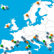 Overview Map for Offroad routes
here click
|
|

| Driven with KTM 950 SE (2 Persons)
Important information about the symbols click here
|
|
|
 |
|
Description After a good breakfast we start very early because we must drive about 190 km tarred road. This route is more than just a bridging distance to the next off-road route. |
 Scenic great, little traffic and the driving makes fun. At the beginning the route goes up to almost 1000 meters, in the middle there is a route with hairpin bends as they are also found on the Stelvio (Italy), followed by several small lakes and plateau. Scenic great, little traffic and the driving makes fun. At the beginning the route goes up to almost 1000 meters, in the middle there is a route with hairpin bends as they are also found on the Stelvio (Italy), followed by several small lakes and plateau. |
 We arrive at a junction, from there we go to the south, passed through a valley always along the river, then come to a small road that always along the slope, leads us through the mountains. We arrive at a junction, from there we go to the south, passed through a valley always along the river, then come to a small road that always along the slope, leads us through the mountains. |
 Where: Albania North Where: Albania North
Length of the route : ca. 193 KM
Difficulty: 98% Tarr
Max Heigh: 970 Meter
|
 |
 |
 When we have this mountain range behind us, begins a hilly landscape, which tops the previous again. Only the traffic is brisk, there are also trucks that are traveling on the narrow road. We drive along a dam, which supplies us always great views, then come across a hill, then reached a valley with many cultivated fields, before we get back into the mountains to our next-terrain vehicle trail. When we have this mountain range behind us, begins a hilly landscape, which tops the previous again. Only the traffic is brisk, there are also trucks that are traveling on the narrow road. We drive along a dam, which supplies us always great views, then come across a hill, then reached a valley with many cultivated fields, before we get back into the mountains to our next-terrain vehicle trail. |
 |
 |
 |


Onlineshop EN Tourbook Albania Offroad
|
|
Offroad travel in Albania (Ebook)
|
 |
Load GPS data as a ZIP file from the Internet Included with the e-book is the option to load the GPS data from the Internet after purchase. Detailed information click here. |
Shop List
| 0 Products | - | 0.00 EUR |
| Go to cart | ||
Onlineshop (EN)

Shipping
There are no shipping charges for ebooks as the ebook and GPS data are sent via email.
We have 334 guests and no members online
- Articles View Hits
- 20923819