Tunisia
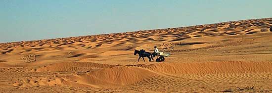
For us, Tunisia is a great country to enjoy the desert with the enduro or off-road vehicle
|
General Information
We used the following motorcycles on our trips to Tunisia: BMW R1150GS, Suzuki DR350, Suzuki DRZ400S, KTM400, Yamaha WR450F, Yamaha TT600R, Yamaha Tenere 700.
|
| Info order item (e-book) | |
|
|
 |
|
| GPS data (included with the e-book) for individual navigation systems such as Garmin, TomTom, BMW Navigator, or GPX files for a mobile navigation app are included with the e-book. |
| Important information about the symbols click here | ||||
|
Route Description |
|
|
|
The route is certainly feasible for heavy travel enduros, but everyone should decide for themselves
|
|
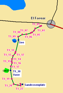
Here, you'll need to follow your GPS, as there are always tracks branching off to the left and right. After a few kilometers, you'll see a small lake on the right, where flamingos sometimes wade. The track continues along small dune fields; after a wooden track, you'll reach a small oasis with a fountain. Camel herds often come here, also looking to quench their thirst..
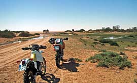
After a short rest, we continue on our journey. Now we have to follow the GPS coordinates again to find the right route to the sand roses. |
|
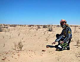 |
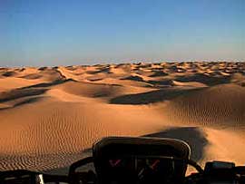
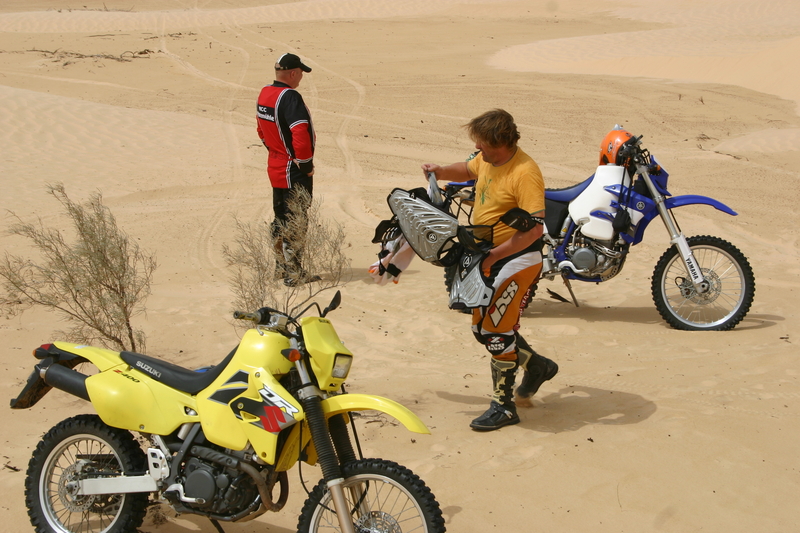
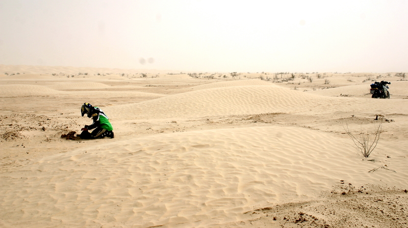
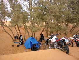
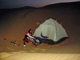
Another shorter dune passage and we're at our destination, "Sand Roses." These things are everywhere. You find yourself in a basin of larger dunes. If you want to drive through dunes, this is the place for you. This is also an excellent place for an overnight stay. You can find wood to start a small fire. |
|
Where: Route Length: Difficulty: Gas Station: |
 |
|
|
 |
 |
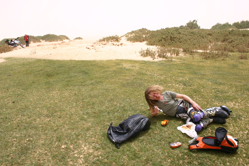
| There is a great sand rose spot here, which you can easily reach as a day trip from Douz |
 |
 |
||||
| Important information about the symbols click here | ||||
|
Route Description |
|
|
 |
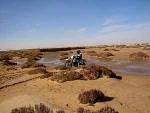 |
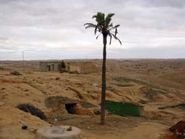
| After the oasis, you should always follow the track. Since some of the fountains are very small, you should always keep an eye on your GPS. At the end of the track, you'll find a small oasis with a fountain. This is almost the border with Algeria. To improve driving in the sand, tire pressure is reduced, which increases the risk of getting a flat tire. | 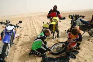 |
| Important information about the symbols click here | ||||
|
Route Description |
|
|
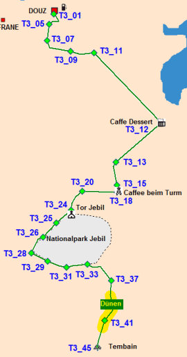 |
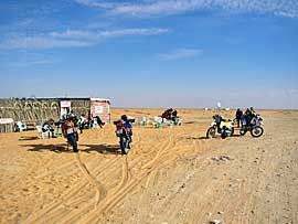
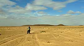
Once you reach the café, you can have tea and a bite to eat (business cards can be hung on the wall). At the café, turn right and drive along the heavily sanded track to the tower, which now houses a café. The next stop is the Jebil Gate, which marks the entrance to the national park. There are garzelles here, but you can't always drive through the national park, so our route goes past the fence. Small dunes and a lot of sandy track lie ahead of us before we feel harder ground beneath us again. To the right of the track, there are some larger, isolated dunes where you can let off some steam.
|
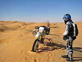
| Fifteen kilometers before reaching Table Mountain, you have to cross a dune field. At the beginning, the dunes are about 1 meter high, and at the end, there are two more dune hills to climb. We've marked the easiest entry point in our coordinates. Then you're there: you're standing in front of Table Mountain. On one side, a small path leads up to the mountain's plateau, where you can enjoy a magnificent view of the Dutch Sea. We've always done the Tembain as a day trip. | 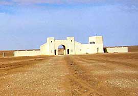 |
 |
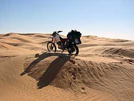 |
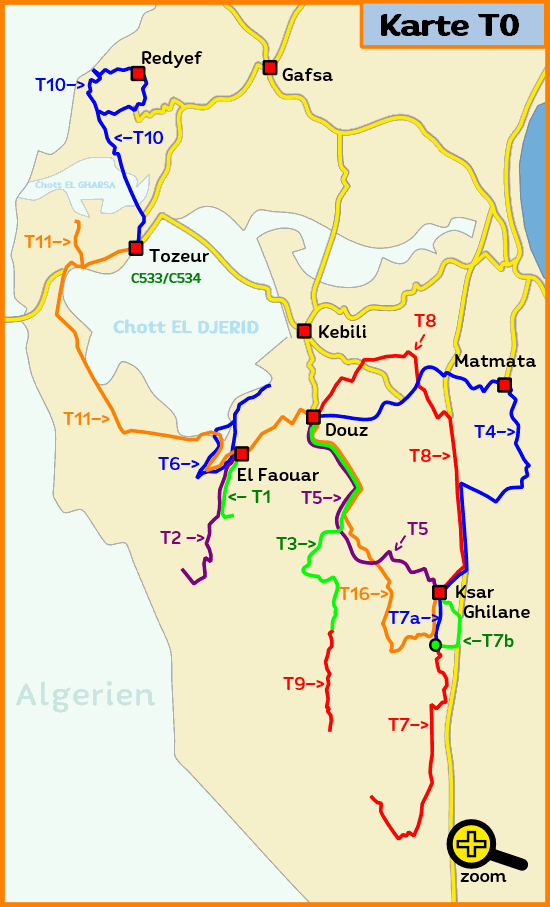
| Where: Tunisia, Douz Route Length: Douz - Mount Tembain and back, approximately 240 km (Set off early for a day trip). Difficulty: 70% sandy track, 25% small dunes, 5% slightly larger dunes. Gas Station: Only in Douz |
 |
 |
||||
| Important information about the symbols click here | ||||
|
Route Description |
|
|
| The next few kilometers are partly sandy, partly gravel. After several kilometers, the mountains begin to appear. Following the waypoints, the route becomes more navigable. Now the contrast to the desert becomes noticeable. The road winds through the mountainous landscape. Occasionally, we encounter jeep drivers traveling in organized groups. We pass a small village. | 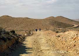 |
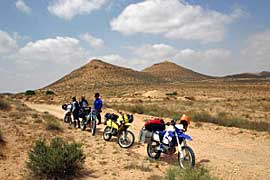 |
After some time, you reach the town of Matmata. The paved road begins here. You can also refuel in New Matmata. From here, the paved road continues through the mountains. After about 15 kilometers, the plains begin again. From there, the mostly straight and partially busy road takes you to Douz. |
|
Where: Route Length: Approx. 240 km |
 |
| Important information about the symbols click here | ||||
|
Route Description |
|
|
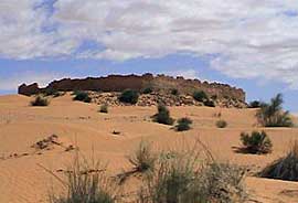 |
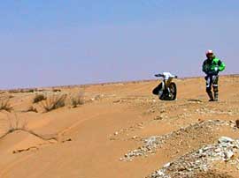
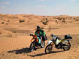
After a while, smaller dunes begin to cross the track. Before the Caffee Bebane (no longer there), the dunes become denser, and near the café there is a larger dune passage. Once you have overcome the dune passage, follow the GPS points of the sandy track until you reach an old fort. After a visit, the last 2 kilometers of the thin track lead to the Ksar-Chilane oasis, where you can also camp in a small forest just outside the area. In Ksar there is also a hotel and 2-3 campsites. There you can rent a Berber tent for the night or simply pitch your own tent. At the end of the dead-end road in the Ksar oasis there is a small pool for swimming. |
 |
 |
|
Where: Route Length: |
 |
|
|
| Important information about the symbols click here | ||||
|
Route Description |
|
|
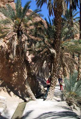 |
We photographed the ruined city of Tamerza. Continuing to Mides, you drive through an oasis and reach a main square with two cafes. We stopped, drank Coke and peppermint tea. We haggled over some chalcedonite (quartz), and then went to photograph the gorge. Five minutes through the houses from the cafe to the right, and about 10 minutes to the left on a track where there used to be campsites—now all closed because the government no longer permits them. At the end of the track/gorge, there are several stalls selling stones and souvenirs, where you can take wonderful photos. 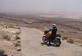 |
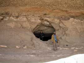
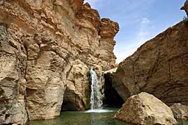
| We drove back the same way, stopped at a waterfall, and continued through the El Hamma Oasis to Tozeur. After a short while, we reached a hilltop, with a branch road leading to a plateau on the left about 30m ahead. It's worth taking a break on this plateau; you can find numerous fossils, shells, fish teeth, etc. Beneath the plateau is a cave that was created during phosphate mining (7km long, according to a local). | 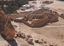 |
 |
At the top of the hill, you should proceed with caution, as there's a sharp left turn. Straight ahead, it's a few hundred meters into nothing. Now the Rommel track takes on a gentler tone; the gravel track has been replaced with concrete slabs. In the valley, after crossing the mountains, you return to a hard-packed sand track with some soft sand sections (sand drifts). The route then joins the main road to Tozeur (approximately 55 km earlier). |
|
Where: Route Length: Difficulty: |
 |
|
|
| Important information about the symbols click here | ||||
|
Route Description |
|
|
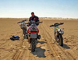 |
The route continues over hard sand tracks, with some small dunes along the side of the road, but you don't have to cross them. The route is also manageable for touring enduros. For the most part, the track is perfectly straight. You continue on straight tracks where you can also speed along. |
| On the way back, you'll cross the paved road that leads to El Faouar again. If it's already late, you can take the paved road directly to Douz. There are no gas stations on this route. | 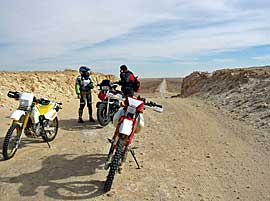 |
|
Where: Route Length: Gas Station: |
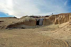 |
| Important information about the symbols click here | ||||
|
|
 |
Route Description |
|
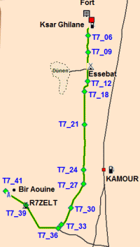
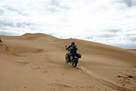
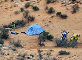
We set up camp about 2 km before Bir Aouine. If you take the pipeline track, a few kilometers after the border post at Kamur, a track continues to the right. More experienced sand riders can certainly get here with a larger enduro bike; enduro tires are required. |
 |
|
Where: Route Length: Difficulty: Gas Station: |
 |
|
|
| Important information about the symbols click here | ||||
|
Route Description |
|
|
 |
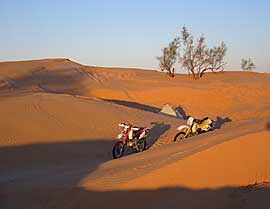
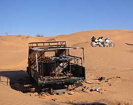
You should bring at least 2 liters of water per person per day, including a reserve in case something unexpected happens. Travel with at least two motorcycles. Don't forget your tools. A backup GPS is highly recommended. From Douz, you should plan for 3 days. Day 1: to Mount Tembain (see Route 3) Day 2: From Tembain to the lake. Day 3: From the lake to Tembain and then to Douz. Route 3, which leads from Douz to Mount Tembain, is required for the tour to the lake. It's a good idea to camp near Mount Tembain so you can set off for the lake early the next morning, as the dunes are easier to navigate at this time. 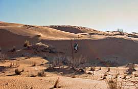 |
 |
 |
|
Where: Route Length: Difficulty: Gas Station: |
 |
Onlineshop Tunisia Ebook (EN)
| Info order item (e-book) | |
|
|
 |
|
| GPS data (included with the e-book) for individual navigation systems such as Garmin, TomTom, BMW Navigator, or GPX files for a mobile navigation app are included with the e-book. |
 Albania
 Romania Offroad
 Slovenia
 Pyrenees Offroad
 Iceland Offroad
 Croatia
 Montenegro
 Morocco Offroad
 Tunisia
 Andalusia1 (Spain)
