 |
Route length: ca. 80 KM Gas station: Kerlingarfjöll Road surface: 100% Gravel
|
|
Driven with a Suzuki DR 250, Suzuki DR 400S, Yamaha WR 450 und KTM 640 Adventure. Important information to the symbols click here
|
||||
 |
|
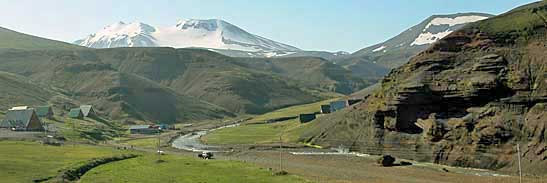
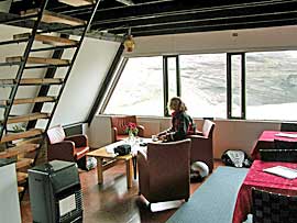
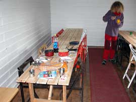
Kerlingarfjöll - a dreamlike valley (dead end) in which there is a hotel with restaurant, several guest houses, a large self-catering kitchen, a campground eg. We originally wanted to just have a coffee but we decided spontaneously to pitch the tent and explore the countryside. |
 |
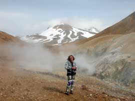
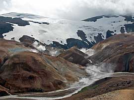
5 km from the campground is the largest solfataras counties of Iceland. The track winds up in several bends and ascents along a canyon to a parking lot. |
|
Here you walk in the ravine, where it evaporated, simmers and smell again after sulfur. The floor is covered with colorful stones, now and then lights a black obsidian forth. |
 |
 |
 |
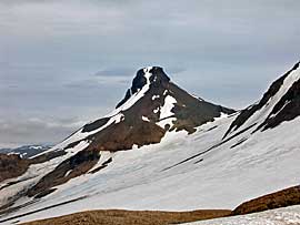 |
From the parking area you can follow a stitch road that ends at the foot of Snaekollur, according to hotel owners can climb to the top in 2 hours. That sets us up for the next trip! Back at the campsite we ate royally and after 18 o´clock we enjoyed the warm pool with 2 pairs of Reykjavik. |
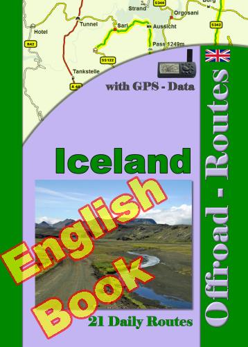
Onlineshop EN Tourbook Iceland Offroad
|
|
Offroad Routes through Iceland
|
|
|
GPS-Data CD As an option, there is a CD with the GPS routes and the most important points as accommodations (camping), gas stations and tourist sites as POI's on it |
|
|
USB flash drive (4 GB) However, the file contents of the USB stick is the same as on the data disc, the USB stick can be used again later. |
|
|
Micro-SD card (2GB) only for Garmin device The Micro-SD Card is only compatible for Garmin devices. She contents all the GPS data and the overlay routes. The card need only to be insert in a garmin device and you can drive on. click here |
 Albania
 Romania Offroad
 Slovenia
 Pyrenees Offroad
 Iceland Offroad
 Croatia
 Montenegro
 Morocco Offroad
 Tunisia
 Andalusia1 (Spain)
