 Albania
 Romania Offroad
 Slovenia
 Pyrenees Offroad
 Iceland Offroad
 Croatia
 Montenegro
 Morocco Offroad
 Tunisia
 Andalusia1 (Spain)
 |
Route length: ca. 165 KM Gas station: Godafoss Road surface: 68% Gravel |
|
Driven with a Suzuki DR 250, Suzuki DR 400S, Yamaha WR 450 und KTM 640 Adventure. Important information to the symbols click here
|
||||
 |
|
From Myvatn we drove to Godafoss - "the divine", waterfall. Here we met 2 motorcyclists from Italy, who were also on board with us and so the first experiences have been exchanged, talked and laughed a lot. |
 |
The Sprengisandur, one for us rather boring track. Stop you can do in a space surrounded by basalt columns waterfall. |
 |
 |
| 30km before the end of day target was formed a dark, black weather front. Short yet stopped, change clothes quickly and already opened the floodgates. It poured! Lots of lava stones adorn the last slope section. | |
 |
 |
 |
Final destination. a swimming pool with 36 ° C water temperature, surrounded by flowers. Although it was still raining, we went swimming first, much later, we built up the tent. the evening was crowned with an Italian feast, a red wine, much laughter and palaver. |
Onlineshop EN Tourbook Iceland Offroad
|
|
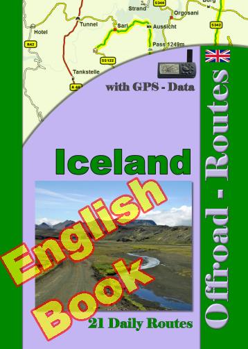
Offroad Routes through Iceland
|
|
|
GPS-Data CD As an option, there is a CD with the GPS routes and the most important points as accommodations (camping), gas stations and tourist sites as POI's on it |
|
|
USB flash drive (4 GB) However, the file contents of the USB stick is the same as on the data disc, the USB stick can be used again later. |
|
|
Micro-SD card (2GB) only for Garmin device The Micro-SD Card is only compatible for Garmin devices. She contents all the GPS data and the overlay routes. The card need only to be insert in a garmin device and you can drive on. click here |

Shop List
| 0 Products | - | 0.00 EUR |
| Go to cart | ||
Onlineshop (EN)

Shipping
There are no shipping charges for ebooks as the ebook and GPS data are sent via email.
We have 509 guests and no members online
- Articles View Hits
- 20870517