 |
Route length: ca. 130 KM Gas station: at the beginning Road surface: 90% Gravel
|
|
Driven with a Suzuki DR 250, Suzuki DR 400S, Yamaha WR 450 und KTM 640 Adventure. Important information to the symbols click here
|
||||
 |
|
Route description |
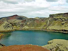 |
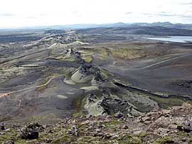
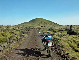
From campsite you go to Laki column. The track leads through deep gravel, over loose stones, now and then uphill and down. A few Fords there are to cross. The aim is a car park from where you can take a hike to a lookout hill. |
 |
 |
 |
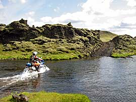 |
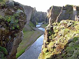
| Back you follow another road that passes through the widest ford (about 100m). |
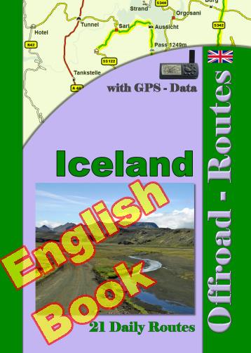
Onlineshop EN Tourbook Iceland Offroad
|
|
Offroad Routes through Iceland
|
|
|
GPS-Data CD As an option, there is a CD with the GPS routes and the most important points as accommodations (camping), gas stations and tourist sites as POI's on it |
|
|
USB flash drive (4 GB) However, the file contents of the USB stick is the same as on the data disc, the USB stick can be used again later. |
|
|
Micro-SD card (2GB) only for Garmin device The Micro-SD Card is only compatible for Garmin devices. She contents all the GPS data and the overlay routes. The card need only to be insert in a garmin device and you can drive on. click here |
 Albania
 Romania Offroad
 Slovenia
 Pyrenees Offroad
 Iceland Offroad
 Croatia
 Montenegro
 Morocco Offroad
 Tunisia
 Andalusia1 (Spain)
