 |
Route length: ca. 120 KM Gas station: none Road surface: 85% Gravel, 15% Lavasand |
|
Driven with a Suzuki DR 250, Suzuki DR 400S, Yamaha WR 450 und KTM 640 Adventure. Important information to the symbols click here
|
||||
 |
|
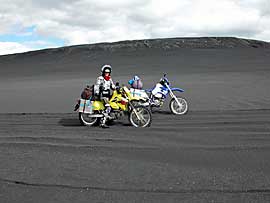
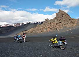
The Way Myvatn is very varied. Highlight is the slope of black lava sand; for both of us not a problem because we are the sand driving already trained several times and drove in the great Erg in Tunisia, but very demanding for a BMW GS with luggage. |
 |
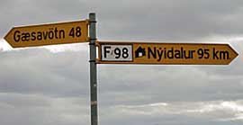 |
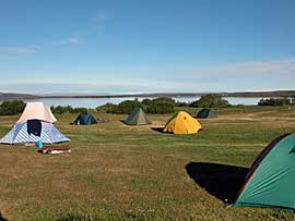
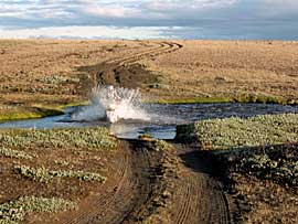
| Scenic beautifully: sand-colored rocks, several table mountains, bizarre rock formations, Fords, basalt blocks, heathlands. Sometime in the evening and after about 120km we reached Gardur from where it went to the well-known campsite at the lake on tarred road to Reykjahlid.
|
 |
 |
 |
 |
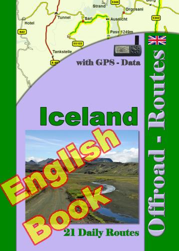
Onlineshop EN Tourbook Iceland Offroad
|
|
Offroad Routes through Iceland
|
|
|
GPS-Data CD As an option, there is a CD with the GPS routes and the most important points as accommodations (camping), gas stations and tourist sites as POI's on it |
|
|
USB flash drive (4 GB) However, the file contents of the USB stick is the same as on the data disc, the USB stick can be used again later. |
|
|
Micro-SD card (2GB) only for Garmin device The Micro-SD Card is only compatible for Garmin devices. She contents all the GPS data and the overlay routes. The card need only to be insert in a garmin device and you can drive on. click here |
 Albania
 Romania Offroad
 Slovenia
 Pyrenees Offroad
 Iceland Offroad
 Croatia
 Montenegro
 Morocco Offroad
 Tunisia
 Andalusia1 (Spain)
