 |
Route length: ca. 205 KM Gas station: Torshöfn, Reykjahlid Road surface: 70% Gravel
|
|
Driven with a Suzuki DR 250, Suzuki DR 400S, Yamaha WR 450 und KTM 640 Adventure. Important information to the symbols click here
|
||||
 |
 |
|
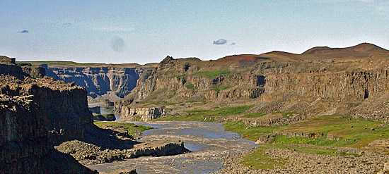
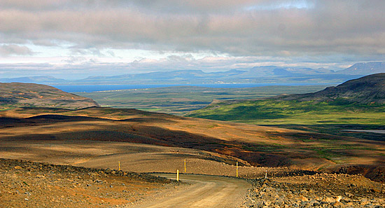
A perfect day! We first drove further north to turn on a gravel road. The track led through a heathland, occasionally passing through a river, to a hut. |
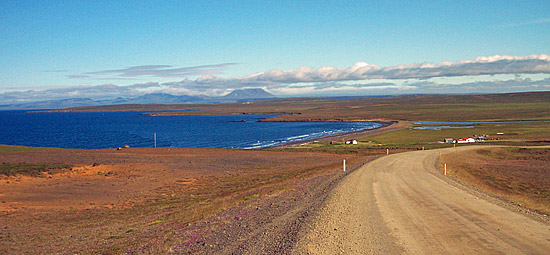 |
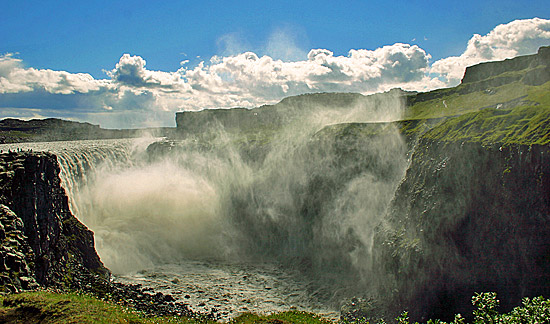
Then it went towards the south to a smaller waterfall. From the lookout point you look down at a bay of black obsidian sand and the waterfall. Shortly thereafter followed the second stop, on a parking place, on the island's biggest waterfall. |
 |
 |
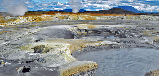
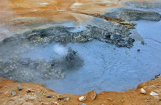
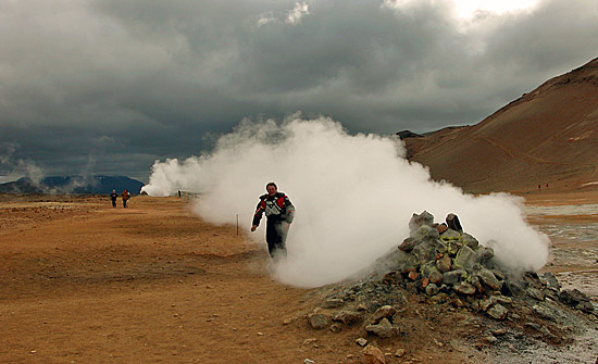
| After visiting you follow the signs to Myvatn. Passing the solfatara of Namaskard you reach Reykjahlid and the campground. | |
 |
 |
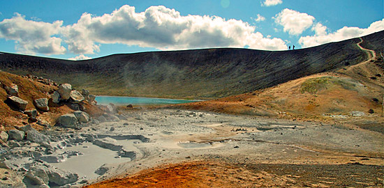
| Arrived in Reykjahlid, you can choose between two places for tents: one right on the lake, with mosquitoes and one near the church without mosquitoes. We decided to spend the night on the campground at the lake, beautifully situated with seagulls ... The afternoon we spent in the "Green lagoon". |
 |
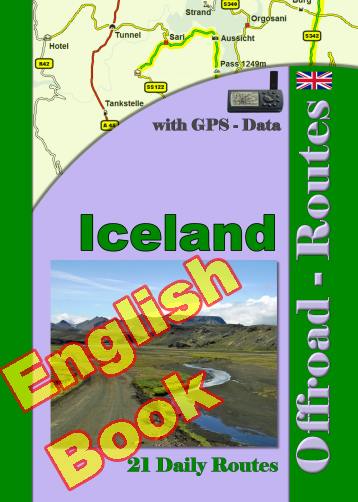
Onlineshop EN Tourbook Iceland Offroad
|
|
Offroad Routes through Iceland
|
|
|
GPS-Data CD As an option, there is a CD with the GPS routes and the most important points as accommodations (camping), gas stations and tourist sites as POI's on it |
|
|
USB flash drive (4 GB) However, the file contents of the USB stick is the same as on the data disc, the USB stick can be used again later. |
|
|
Micro-SD card (2GB) only for Garmin device The Micro-SD Card is only compatible for Garmin devices. She contents all the GPS data and the overlay routes. The card need only to be insert in a garmin device and you can drive on. click here |
 Albania
 Romania Offroad
 Slovenia
 Pyrenees Offroad
 Iceland Offroad
 Croatia
 Montenegro
 Morocco Offroad
 Tunisia
 Andalusia1 (Spain)
