 |
Route length: ca. 220 KM Gas station: in every large town Road surface: 70% Gravel
|
|
Driven with a Suzuki DR 250, Suzuki DR 400S, Yamaha WR 450 und KTM 640 Adventure. Important information to the symbols click here
|
||||
 |
|
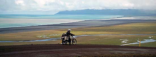
After a good night with calm seas we came around 9am in Iceland. The first impression? As it was fog and rain in the weather forecast, which was a printed upon request at the front desk on the ship. Clear, so provides a weather forecast for conversations at breakfast; the one wanted to go to the south, the other to the north. We decided to drive north to our planned route through with. |
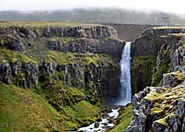 |
After a few kilometers you reach a small town where you can stock up on everything necessary, there is a bank, supermarket, gas station, etc. |
 |
 |
|
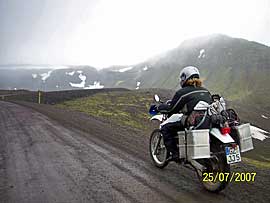
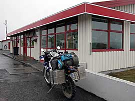
The road led us over the pass in good weather, probably a dream, but then, it poured in streams, there was snow, was bitterly cold and foggy, we had a view of about 10m. Arrived in a small town, we saw the first gas station where we went immediately. |
 |
 |
Refreshed and warmed up we continued. |
|
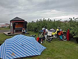
Arriving at the final destination, we drive to the campsite (free, toilet blocks with 2 sinks and 2 toilets). On foot you could explore the small town or wash free the mopeds / cars at the gas station. |
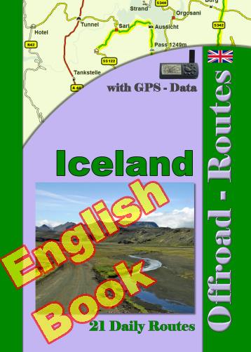
Onlineshop EN Tourbook Iceland Offroad
|
|
Offroad Routes through Iceland
|
|
|
GPS-Data CD As an option, there is a CD with the GPS routes and the most important points as accommodations (camping), gas stations and tourist sites as POI's on it |
|
|
USB flash drive (4 GB) However, the file contents of the USB stick is the same as on the data disc, the USB stick can be used again later. |
|
|
Micro-SD card (2GB) only for Garmin device The Micro-SD Card is only compatible for Garmin devices. She contents all the GPS data and the overlay routes. The card need only to be insert in a garmin device and you can drive on. click here |
 Albania
 Romania Offroad
 Slovenia
 Pyrenees Offroad
 Iceland Offroad
 Croatia
 Montenegro
 Morocco Offroad
 Tunisia
 Andalusia1 (Spain)
