|
Route: We head north toward Stavanger, taking scenic minor roads along the way.
Difficulty: Fully paved roads
Distance: approx. 270 km
|
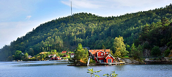
| From our first campsite, we continue north along quiet main roads. Along the way, we pass small lakes with islands and idyllic houses. We quickly get used to the intense green landscape of Norway. |
 |
 |
 |
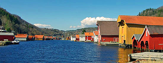
| After a short break, we continue north toward our first ferry crossing. |
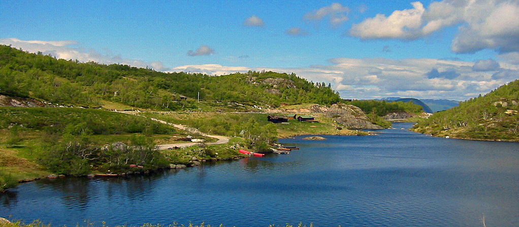 |
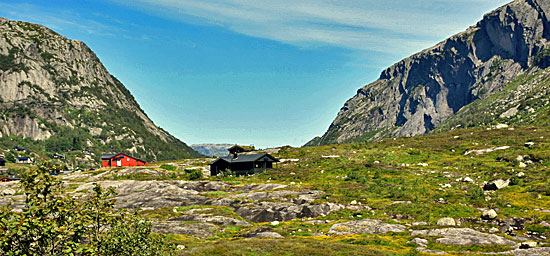
| We soon leave the main roads and continue on smaller scenic routes. The landscape becomes increasingly dramatic, with tunnels, rock formations, and moraine-like stone piles. Eventually, we reach our first small ferry crossing over the Lysefjord. From there, we continue to our campsite, where we set up our tents. Nearby, wooden cabins (so-called “hytter”) can also be rented. |
 |
 |
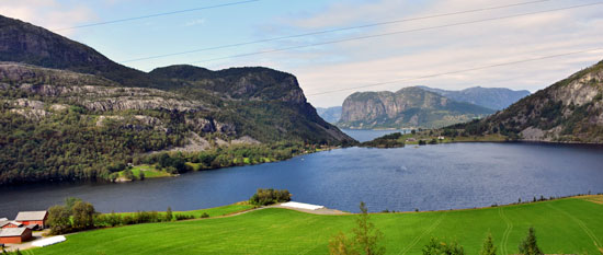
| Near the campsite is the famous Preikestolen (Pulpit Rock), which we hike the following day. The trail is well marked and not technically difficult, with small bridges over streams. The ascent takes about 1.5 hours. At the top, you are rarely alone, but the view is truly spectacular in good weather. Back at the campsite, we experience an unexpected surprise: after heavy rain during the night, our tent is standing in about 10 cm of water the next morning. As often on trips like this, we had chosen a less-than-ideal camping spot. |
 |
| Information: E-book (Available for Purchase) |
|

GPS Data: |