 |
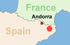
Route: Pyrenees / Region Puigcerda
Difficulty: Locals Dirt Track, min. 2-3 meters wide, last part only 2 meters wide (not for SUVs)
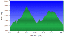
Route length: 32 KM
|
 |
 |
|
|||
|
Driven the track with a TGB 550 (ATV - Quad)
Important information to the symbols click here
|
|||||
 |
|
Route description |
 |
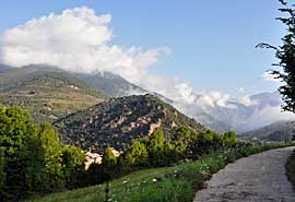 |
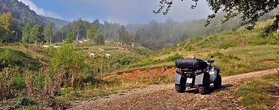
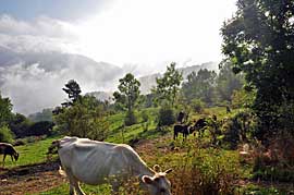
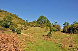
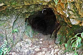
A small paved road leads from the village a few kilometers towards the mountains, then begins a gravel road. |
 |
 |
 |
 |
 |
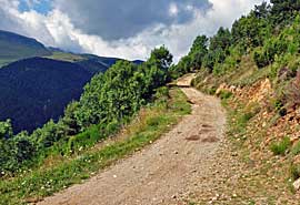 |
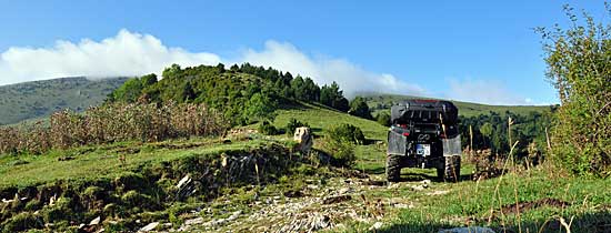
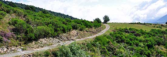
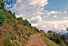
After a place we now turn in a small 2 foot wide gravel path. This small track is a lot going on, there come towards us 2 GS driver and a quad tour and lots of mountain bikers. The route stretches on a hill and then ends at the back of the mountain in the village. |
|
Where:
Pyrenees/Region Puigcerda Difficulty: Locals Dirt Track, min. 2-3 meters wide, last part only 2 meters wide (not for SUVs)
Route length:
ca. 32 KM |
 |
Onlineshop EN Tourbook Pyrenees Offroad
|
|
Offroad Routes through Pyrenees
|
|
|
GPS-Data CD As an option, there is a CD with the GPS routes and the most important points as accommodations (camping), gas stations and tourist sites as POI's on it |
|
|
USB flash drive (4 GB) However, the file contents of the USB stick is the same as on the data disc, the USB stick can be used again later. |
|
|
Micro-SD card (2GB) only for Garmin device The Micro-SD Card is only compatible for Garmin devices. She contents all the GPS data and the overlay routes. The card need only to be insert in a garmin device and you can drive on. click here |
 Albania
 Romania Offroad
 Slovenia
 Pyrenees Offroad
 Iceland Offroad
 Croatia
 Montenegro
 Morocco Offroad
 Tunisia
 Andalusia1 (Spain)