 |
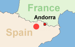
Route: Pyrenees/Region Andorra-Espot
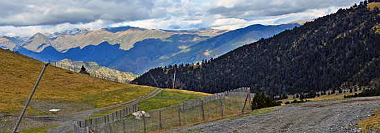
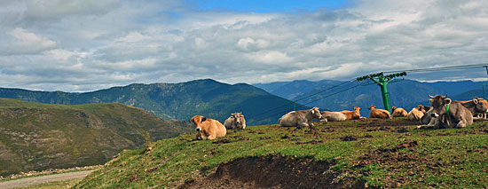
Particularity: Dirt road along the crest
Route length: 42 KM
|
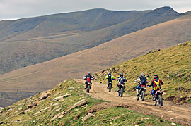
| Driven with a KTM 640 Adventure (2 Persons) Important information to the symbols click here
|
||||
 |
|
Route description |
|
|
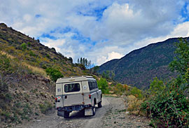 |
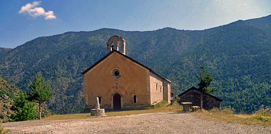
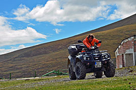
On the weekend different vehicles are travelling, the track is generally very little gravel, there is no too steep passages. |
 |
 |
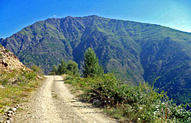 |
We had on the first section sun and the descent it was cloudy. |
|
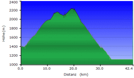
Where: Route length: Max Hight: |
 |
|
|
Onlineshop EN Tourbook Pyrenees Offroad
|
|
Offroad Routes through Pyrenees
|
|
|
GPS-Data CD As an option, there is a CD with the GPS routes and the most important points as accommodations (camping), gas stations and tourist sites as POI's on it |
|
|
USB flash drive (4 GB) However, the file contents of the USB stick is the same as on the data disc, the USB stick can be used again later. |
|
|
Micro-SD card (2GB) only for Garmin device The Micro-SD Card is only compatible for Garmin devices. She contents all the GPS data and the overlay routes. The card need only to be insert in a garmin device and you can drive on. click here |
 Albania
 Romania Offroad
 Slovenia
 Pyrenees Offroad
 Iceland Offroad
 Croatia
 Montenegro
 Morocco Offroad
 Tunisia
 Andalusia1 (Spain)

