|
|
route length: 18 KM |
|
|
||
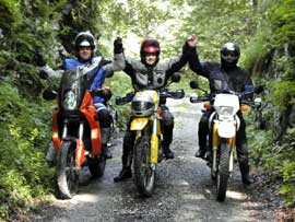
| For Motorcycles the road is locked! Driven with a KTM 690 (2 Persons), Yamaha TT600R, KTM 950 Adventure (2 Persons) and Nissan Pickup 2,5l
Important information to the symbols click here |
||
 |
|
Route Description
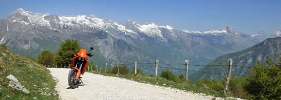
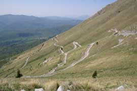
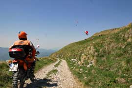
Near the border with Italy leading a now locked for motorcycles streets up to a popular hang gliding summit. |
|
Where:
Slovenia Route Length: about 18 KM Map: Hiking map on site Difficulty: - Above a small 500 meter long section of coarse gravel and a rise of about 10% |
 |
 |
There are quite a few kilometers until you reach the grassy slopes, where you can enjoy wonderful views. |
| Wooden table group invite to rest. Under 4x4 off-road driver this route must be a secret tip, because they are here in the majority. |
 |
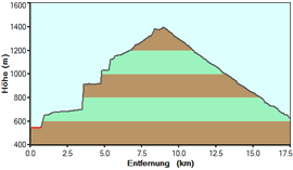 |
The full descent leads through the forest and ends on a main road.. |
Onlineshop EN Tourbook Slovenia Offroad
|
|
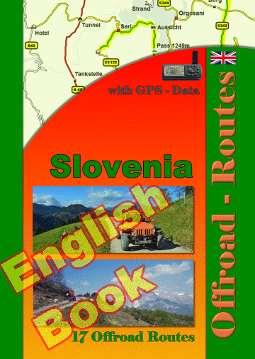
17 Offroad Routes in Slovenia
|
|
|
GPS-Data CD As an option, there is a CD with the GPS routes and the most important points as accommodations (camping), gas stations and tourist sites as POI's on it |
|
|
USB flash drive (4 GB) However, the file contents of the USB stick is the same as on the data disc, the USB stick can be used again later. |
|
|
Micro-SD card (2GB) only for Garmin device The Micro-SD Card is only compatible for Garmin devices. She contents all the GPS data and the overlay routes. The card need only to be insert in a garmin device and you can drive on. click here |
 Albania
 Romania Offroad
 Slovenia
 Pyrenees Offroad
 Iceland Offroad
 Croatia
 Montenegro
 Morocco Offroad
 Tunisia
 Andalusia1 (Spain)