|
|
route length: 17 KM |
|
Driving was the route with many Enduro bikes
Important information to the symbols click here |
||||
 |
|
Route Description
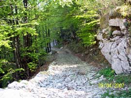
Not far from Stol is the track that leads up to Matajur. The small streets leading through forest to a plateau. The road here is not particularly steep but there is a donkey path - way. |
|
Where:
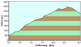
Slovenia, Kobarid Route Length: about 17 KM Map: Hiking map on site Difficulty: The last part a challenge for heavy Enduro |
 |
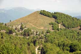 |
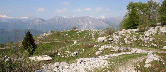
The paved with stones way overused the suspension of our motorbike. Alone you are here not, hikers you meet who want to climb Matajur. The charming landscape always offers views of the magnificent mountains of Slovenia. |
| Endpoint of the route is a hamlet with individual huts. |
 |
 |
Onlineshop EN Tourbook Slovenia Offroad
|
|
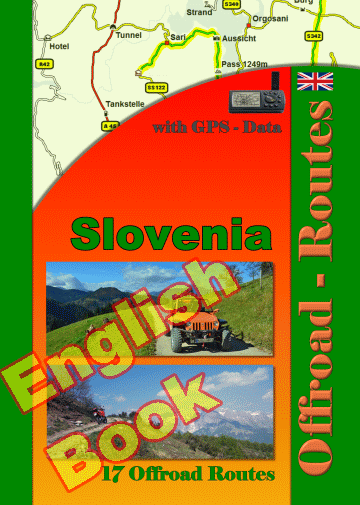
17 Offroad Routes in Slovenia
|
|
|
GPS-Data CD As an option, there is a CD with the GPS routes and the most important points as accommodations (camping), gas stations and tourist sites as POI's on it |
|
|
USB flash drive (4 GB) However, the file contents of the USB stick is the same as on the data disc, the USB stick can be used again later. |
|
|
Micro-SD card (2GB) only for Garmin device The Micro-SD Card is only compatible for Garmin devices. She contents all the GPS data and the overlay routes. The card need only to be insert in a garmin device and you can drive on. click here |
 Albania
 Romania Offroad
 Slovenia
 Pyrenees Offroad
 Iceland Offroad
 Croatia
 Montenegro
 Morocco Offroad
 Tunisia
 Andalusia1 (Spain)