
Short route description (Morocco M21 Atlas Mountains):
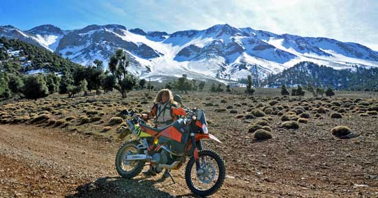
A mountainous trail through the High Atlas Mountains. Long stretches of ground can be frozen during the winter months.
Trail length: 83 km
Trail length: 83 km
| Important information about the symbols click here | ||||
 |
|
Route description |
 |
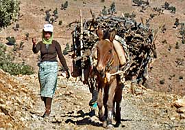
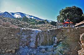
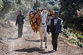
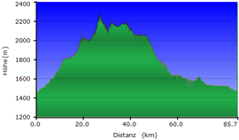
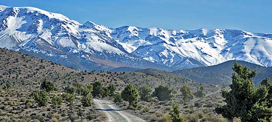
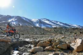 The route takes us to over 2,200 meters above sea level; streams and puddles are frozen over here, and motorcyclists have to be careful not to slip. This route is also technically challenging; although we're always riding along a track, it slopes steeply toward the outside edge. We also occasionally encounter locals with their loaded mules. It's a crazy world here: on the one hand, the locals only have simple mules to transport wood, but on the other, they wear headphones and listen to music from a smartphone. The route takes us to over 2,200 meters above sea level; streams and puddles are frozen over here, and motorcyclists have to be careful not to slip. This route is also technically challenging; although we're always riding along a track, it slopes steeply toward the outside edge. We also occasionally encounter locals with their loaded mules. It's a crazy world here: on the one hand, the locals only have simple mules to transport wood, but on the other, they wear headphones and listen to music from a smartphone. |
 |
 |
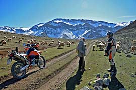 Our route leads over a small mountain pass, where we encounter a huge flock of sheep and goats, numbering around 300 or more. We continue along the slope, repeatedly having to drive slowly over frozen puddles. Our route leads over a small mountain pass, where we encounter a huge flock of sheep and goats, numbering around 300 or more. We continue along the slope, repeatedly having to drive slowly over frozen puddles. |
 |
 |
 |
|
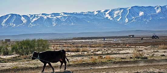
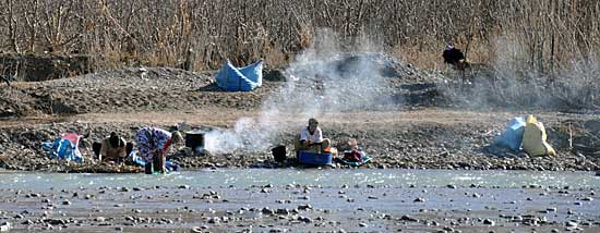
Once back in the valley, we drive along a river oasis and then cross the river at a very shallow point. |
 |
- M2 Cactus round
- M3 Beach piste
- M4 beach dunes
- M5 canyon
- M6 Dades Todra (EN)
- M8 Atlas Mountains
- M10 Atlas Mountains 4000m
- M12 desert track
- M14 To the dunes
- M17 Desert tour
- M18 Erg Chebbi
- M21 Atlas Mountains
- M23 Paul's home slope
- M24 Imouzzer (EN)
- M25 Oassis (EN)
- M26 rocky and beautiful
- M27 Steppe fire
- M28 Tissint Foum Zguid
- M30 Fantastic mountains
- M33 Steppe landscape
- M34 Mine track
- M35 Artist track
- M36 Class mountain slope
- M37 rocky off-road track Morocco
- M38 Monkey Tour
<-- back to overview Morocco
EN Onlineshop Ebook Marokko Offroad
| Info Bestellartikel (EBook) | |
|
|
 GPS data (included with e-book) GPS data (included with e-book)for individual navigation systems such as Garmin, TomTom, BMW Navigator and Ozi Explorer |
 Albania
 Romania Offroad
 Slovenia
 Pyrenees Offroad
 Iceland Offroad
 Croatia
 Montenegro
 Morocco Offroad
 Tunisia
 Andalusia1 (Spain)
 Ebook Morocco (English Language)