| Important information about the symbols click here | ||||
|
Route Description |
|
|
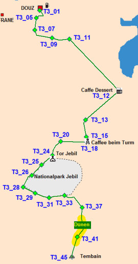 |
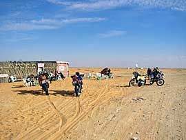
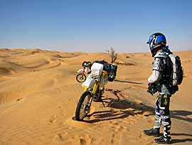
Once you reach the café, you can have tea and a bite to eat (business cards can be hung on the wall). At the café, turn right and drive along the heavily sanded track to the tower, which now houses a café. The next stop is the Jebil Gate, which marks the entrance to the national park. There are garzelles here, but you can't always drive through the national park, so our route goes past the fence. Small dunes and a lot of sandy track lie ahead of us before we feel harder ground beneath us again. To the right of the track, there are some larger, isolated dunes where you can let off some steam.
|
| Fifteen kilometers before reaching Table Mountain, you have to cross a dune field. At the beginning, the dunes are about 1 meter high, and at the end, there are two more dune hills to climb. We've marked the easiest entry point in our coordinates. Then you're there: you're standing in front of Table Mountain. On one side, a small path leads up to the mountain's plateau, where you can enjoy a magnificent view of the Dutch Sea. We've always done the Tembain as a day trip. | 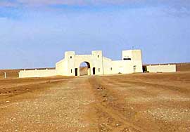 |
 |
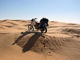 |
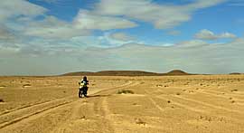
| Where: Tunisia, Douz Route Length: Douz - Mount Tembain and back, approximately 240 km (Set off early for a day trip). Difficulty: 70% sandy track, 25% small dunes, 5% slightly larger dunes. Gas Station: Only in Douz |
 |
Onlineshop Tunisia Ebook (EN)
| Info order item (e-book) | |
|
|
 |
|
| GPS data (included with the e-book) for individual navigation systems such as Garmin, TomTom, BMW Navigator, or GPX files for a mobile navigation app are included with the e-book. |
 Albania
 Romania Offroad
 Slovenia
 Pyrenees Offroad
 Iceland Offroad
 Croatia
 Montenegro
 Morocco Offroad
 Tunisia
 Andalusia1 (Spain)

