|
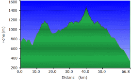
Max Height: 1400 Meter particularity: |
|
The route was driven by a KTM 640, KTM 690 and on a KTM 950 Adventure (2 Persons).
Important Information about the Symbols click here
|
 |
|
Route description
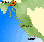
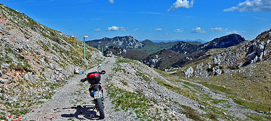
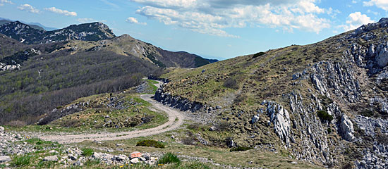
This tour is located in the north of Rijeka. Follow a serpentine road up to a high Plateau. |
 |
 |
 |
 |
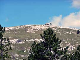 |
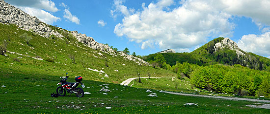
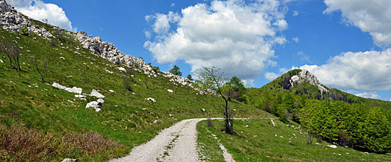
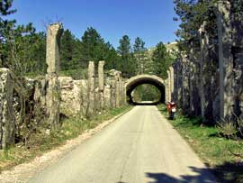
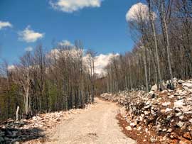
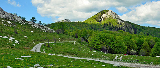
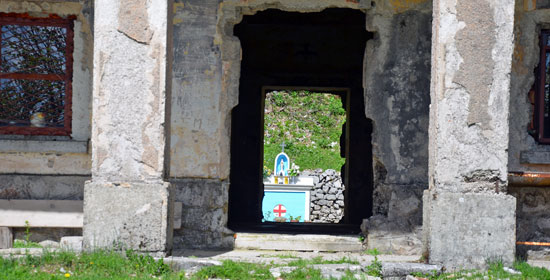
Our path is now gravelled, we drive through a high plateau, where at the weekend many Croatians come here to barbecue and celebrate on the green meadows to the left and right. We continue our route through the forest, a wide gravel road leads us past individual forest houses. Since we are here over 1000 meters high, there may still be snow in May. Up here in the border area between Slovenia and Croatia you can still see some interesting fortresses. |
|
Where:
Croatia Length of the Route :
ca. 66 KM Map: Hiking Map Difficulty:
possible for 260kg Enduros |
 |
 |
 |
 |
{mosmodule articleid=212}
Onlineshop EN Tourbook Croatia Offroad
|
|
Offroadroutes in Croatia (EBook)
|
|
|
Load GPS data as a ZIP file from the Internet Included with the e-book is the option to load the GPS data from the Internet after purchase. Detailed information click here. |
 Albania
 Romania Offroad
 Slovenia
 Pyrenees Offroad
 Iceland Offroad
 Croatia
 Montenegro
 Morocco Offroad
 Tunisia
 Andalusia1 (Spain)
