6 daily trips on tarred roads + gravel roads
Detailed route descriptions (no necessary GPS device)
Sketch, partially roadbooks (for orientation)
Smaler tourguide as DIN A5 for the tank bag
Solid heavy-duty cardboard
Descriptions of sights along the route
Overnithings (Hotel, Guesthouse, Campings e.g.)
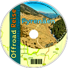
Additions CD with GPS data:
As an option, there is a CD (for eg) with Navigation data in the following formats: 
- (GDB) Data
- (MPS) Data
- (GPX) Data
- inkl. POIs / Waypoints on CD and many other formats. Detailed informations about it click here
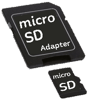
Additions SD-MicroSD-card Only for Garmin devices:
 As an Option there is a SD and MicroSD card (2 Gigabyte) which Contents all the GPS routes, waypoints and overlayroutes (no map). Only for Garmin and BMW Navigator4, 5, 6 devices.
Detailed informations about it click here The Card can be used after in a photo etc.
Additions Download GPS data as ZIP File from the Internet
 As an option to the book, there is the possibility to download the GPS data after purchase from the Internet. The book comes by post, the GPS data can be downloaded from the Internet.
Detailed information click here .
Please select SD-card, CD or Download below by Additions.


